


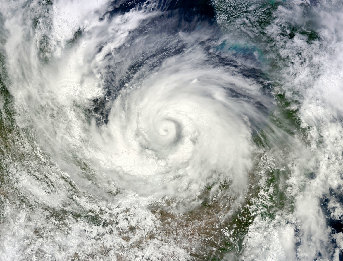
As reported in The New York Times, the 2025 Atlantic hurricane season has been marked by a recurring pattern: multiple storms that initially appeared to be heading toward the United States ultimately shifted eastward and moved out to sea. With six weeks remaining in the season, 12 named storms have formed so far — four of which reached hurricane strength. Despite this activity, only one storm, Tropical Storm Chantal, made landfall in the United States, coming ashore in South Carolina in early July. Another system, Tropical Storm Barry, made landfall in Mexico in late June.
Meteorologists attribute this unusual pattern to two primary factors: the location where storms form and the atmospheric forces that steer them. According to John Cangialosi, a senior hurricane specialist at the National Hurricane Center, the dominant steering influence in the Atlantic is the Bermuda high, a large high-pressure system that typically pushes storms westward across the ocean before curving them north. When this system is strong, it can guide storms toward regions such as Florida and the Gulf of Mexico. However, when the Bermuda high is weak — as it has been during portions of this season — storms tend to turn northward earlier and veer eastward, avoiding U.S. landfall.
This weaker Bermuda high played a notable role in directing Hurricanes Erin, Gabrielle and Humberto, as well as Tropical Storm Jerry, away from land. In some cases, other atmospheric dynamics also contributed. Dr. Phil Klotzbach, a senior research scientist at Colorado State University, noted that Tropical Storm Dexter was already positioned within the jet stream, a high-altitude, fast-moving band of air flowing west to east across the North Atlantic. Being embedded in the jet stream caused Dexter to move away from the United States shortly after forming.
In another example, the interaction between multiple systems influenced storm movement. During Hurricane Humberto’s development, its position east of Tropical Storm Imelda weakened the western edge of the Bermuda high. The storms also interacted through a phenomenon known as the Fujiwhara effect, slowly rotating around a shared center point, which helped pull Imelda eastward and away from the U.S.
The point of origin is also significant in determining whether a storm makes landfall. Systems that form farther east in the Atlantic are more likely to encounter pressure systems that guide them north and out to sea, while storms that develop farther west, such as in the Gulf of Mexico or western Caribbean, may have fewer opportunities to avoid land. As the season transitions into late October and November, forecasters expect storm formation to shift farther west, increasing the likelihood of U.S. impacts. However, late-season landfalls are relatively uncommon due to stronger vertical wind shear near the United States, which can disrupt storm intensity.
The National Hurricane Center is currently monitoring a developing system that could become the next named storm, though its path and development remain uncertain.
Get the latest insurance market updates and discover exclusive program opportunities at ProgramBusiness.com.