


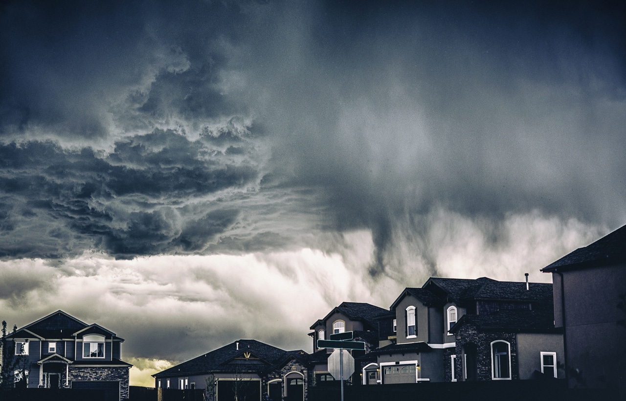
As reported on Nov. 16, 2025, active weather is forecast to persist along the West Coast this week, extending impacts from a recent Pacific storm that brought heavy rainfall and flooding to parts of California, Nevada, and Arizona.
Ongoing Impacts From the Recent Storm
Portions of Santa Barbara, Ventura, and Los Angeles counties — areas that recorded the highest rainfall totals — are expected to experience occasional showers and drizzle through Sunday evening. By Sunday morning, 36-hour rainfall totals exceeded 3 inches across the Los Angeles Basin, with some locations measuring more than 5 inches.
Flooding and mudslide concerns remain, particularly near foothill areas. Evacuation orders issued late last week for locations around burn scars from the Palisades and Eaton fires were lifted by late Saturday afternoon. In higher elevations of the central Sierra, snow continued to accumulate early Sunday, adding to totals at mountain ski locations.
Early-Week Weather Pattern
From Sunday night into Monday night, a new zone of low pressure is forecast to bring additional moisture and windy conditions to the West Coast. Although total precipitation is expected to be lower than that associated with the recent Pacific storm, AccuWeather meteorologists note that existing issues could be compounded.
According to Meteorologist Alex Duffus, recent significant rainfall means additional downpours may renew flood risks in Central and Southern California through early week. Snowfall at pass elevations may contribute to travel delays. Snow levels near 7,000–7,500 feet on Sunday are expected to fall to 5,000–6,000 feet by Monday. Periods of accumulating snow are anticipated across the Sierra Nevada from Sunday night through Monday evening.
As this system moves inland across the Rocky Mountains later Tuesday, California is expected to receive a brief break from active weather before the next system arrives.
Midweek and Late-Week Storm Potential
Forecasters expect another storm to approach the West Coast around midweek. While the exact track remains uncertain, forecasts indicate the potential for additional coastal rain, mountain snow, and blustery coastal winds.
A separate late-week event is also possible. A storm moving into western Canada is projected to shift southward into Washington, Oregon, and potentially Northern California by the weekend. This system may produce accumulating snow in the upper elevations of the Washington Cascades and Coastal Range.
Stay informed and ahead of the curve — explore more industry insights and program opportunities at ProgramBusiness.com.