


Meteorologists define a bomb cyclone as a storm that strengthens rapidly, measured by a pressure drop of at least 24 millibars in 24 hours. This rapid intensification can increase storm threats, especially wind. Along coastal New England, conditions are expected to turn gusty as the system deepens.
Although major cities along the Northeast I-95 corridor appear likely to avoid significant snowfall, forecast guidance indicates more substantial snow accumulation farther inland.
Winter Weather Alerts Span From the Plains to Maine
Winter weather alerts are in effect for nearly 70 million people, stretching from the Plains to Maine as the storm treks east. Snow and ice are already underway in parts of the Central Plains and are expected to spread through the Midwest, southern Great Lakes, and Ohio Valley through Monday night.
On Monday morning, light snow was falling in parts of Nebraska and Kansas. At the same time, freezing rain extended as far south as Oklahoma. This mix of wintry precipitation is arriving in areas that are still dealing with the impacts of a major post-Thanksgiving winter storm over the weekend.
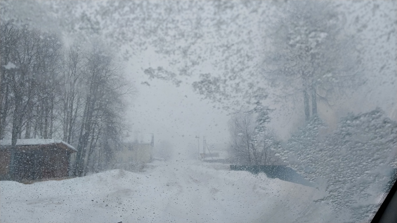
Midwest and Great Lakes Face Another Round of Snow
The system is forecast to bring anywhere from a fresh dusting to a few more inches of snow in Midwest and Great Lakes cities that recently experienced record-snowy conditions. Chicago, Madison, Wisconsin, and Springfield, Illinois, are among the locations that saw their record-snowiest November day on Saturday. The new storm will add additional accumulation on top of what already fell.
For insurers and insurance professionals monitoring regional conditions, the combination of fresh snow and lingering impacts from the weekend storm highlights the continued presence of winter-season hazards across the central U.S., including snow load, ice, and transportation disruption.
Northeast Sees First Widespread Snow and Ice of the Season
By Tuesday morning, the storm is expected to arrive in the East, bringing the first significant wintry event of the season to parts of New England and the mid-Atlantic. Interior areas of the Northeast are likely to see impacts during the Tuesday morning commute. These locations include Pittsburgh as well as Albany and Buffalo, New York.
In contrast, New York City, Philadelphia, Boston, and Washington, DC, could see snow at the start of Tuesday. However, forecasts indicate that snow in these cities will likely transition to rain before accumulations become substantial.
The highest snowfall totals in the Northeast are expected in:
- Northeast Pennsylvania
- The upper Hudson Valley of eastern New York
- Western and central Massachusetts
- The southern halves of Vermont and New Hampshire
- Eastern Maine
Some locations in these regions could receive 6 inches or more of snowfall.
Ice Risks Along the Appalachians
Just south of the heaviest snow band, warmer air sliding over cold ground is expected to create pockets of freezing rain along the Central and Southern Appalachians. Even a thin glaze of ice in higher elevations of Virginia and North Carolina could be enough to trigger travel problems or cause scattered power outages.
From an industry perspective, these ice-related hazards are notable because they align with the storm’s stated threats: difficult travel conditions and interruptions tied to potential power loss.
Heavy Rain, Thunderstorms, and Flooding Potential in the South
On the storm’s warmer side, widespread rain and a few thunderstorms are expected across the South. Localized flash flooding is possible from the northern Gulf Coast through central and northern Georgia.
This portion of the system represents the non-winter side of the same event, with rainfall-driven hazards developing simultaneously while snow and ice affect regions farther north.
Arctic Air Follows the Storm
December marks the start of meteorological winter, which runs through February. Temperatures across much of the central and northern U.S. are already in the teens and 20s on Monday, allowing new snow and ice to accumulate on top of existing coverage. Gusty winds will make conditions feel even colder.
After the system exits, forecasters expect colder air to deepen further. A fresh surge of Arctic air is forecast to spill across the central and eastern U.S. late in the week. This push is likely to bring the lowest temperatures of the season so far. Some areas across the Plains, Midwest, and interior Northeast could approach daily record lows on Thursday and Friday.
Looking ahead, meteorologists note that the upcoming Arctic blast could preview additional cold later in December, tied to a disruption of the polar vortex.
Key Takeaway for Insurance Professionals
This storm system is expected to produce a broad range of weather hazards across multiple regions, including:
- Additional snow in areas recently hit by historic November accumulation
- Significant inland snowfall in the Northeast
- Freezing rain and ice impacts along the Appalachians
- Heavy rain, thunderstorms, and localized flash flooding in the South
- A follow-on Arctic air surge with potentially record-challenging lows
As the event unfolds from Monday into Tuesday and beyond, insurance industry stakeholders may want to track evolving conditions and regional alerts closely, given the storm’s wide footprint and mixed precipitation profile described by forecasters.
Get the latest insurance market updates and discover exclusive program opportunities at ProgramBusiness.com.