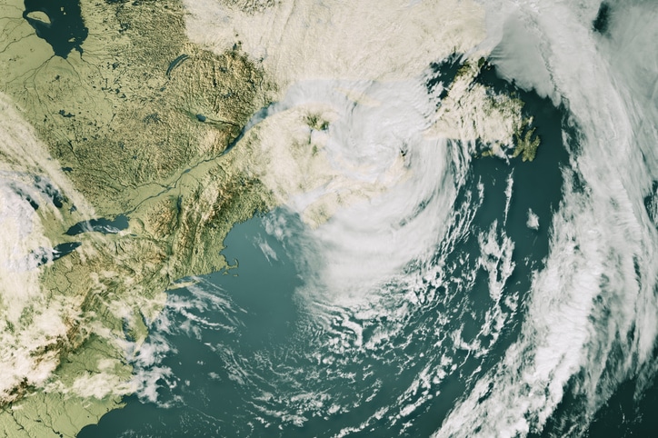
Dr. Adam Lea of EutoTempest Ltd. in London has recently issued an extended range forecast for North Atlantic hurricane activity in 2026 on behalf of Tropical Storm Risk. The outlook projects hurricane activity close to the 1991–2020 30-year average, while emphasizing substantial uncertainty at this lead time.
The forecast covers the official Atlantic hurricane season from June 1 through Nov. 30, 2026, and incorporates climate data available through the end of November 2025.
Forecast Overview
Tropical Storm Risk anticipates a season that aligns broadly with long-term climatology. However, the organization notes that extended-range forecasts issued this far in advance carry low historical accuracy.
The outlook relies on two primary predictors: forecast August to September sea surface temperatures in the Atlantic Main Development Region and forecast July to September Caribbean trade wind anomalies. Both factors influence storm formation, frequency, and intensity across the basin.
Projected Hurricane Metrics
For the 2026 season, TSR forecasts an Accumulated Cyclone Energy index of 125. The forecast also includes three intense hurricanes, seven hurricanes overall, and 14 named tropical storms.
By comparison, the 1991–2020 climatological averages include an ACE of 122, 3.2 intense hurricanes, 7.2 hurricanes, and 14.4 tropical storms. Longer-term and more recent norms show variability, with the 2016–2025 period reflecting higher overall activity.
TSR reports that forecast skill at this lead time remains very low, ranging from 0% to 2% across various metrics based on historical verification from 2003 to 2025.
Probability-Based Outlook
To express uncertainty, TSR provides probability of exceedance estimates. For the 2026 ACE index, the forecast assigns a 32 percent probability of the season falling into the upper tercile, defined as an ACE above 156. There is a 49 percent probability of a middle-tercile season, with ACE between 75 and 156, and a 19 percent probability of a lower-tercile season with ACE below 75.
These probabilities are calculated using established statistical methods and are compared against observed climatology from the 1991–2020 period.
Key Climate Drivers
Sea surface temperatures in both the Atlantic Main Development Region and the Caribbean Sea are forecast to be warmer than normal by approximately 0.3 degrees Celsius relative to the 1991–2020 average. Warmer waters typically provide additional energy and moisture that support tropical cyclone development.
Trade winds across the Caribbean and tropical North Atlantic are forecast to be slightly weaker than normal during July through September. Weaker trade winds are generally associated with reduced vertical wind shear and increased cyclonic vorticity, which can support higher storm activity. However, confidence in this signal remains limited.
ENSO conditions represent a major source of uncertainty. Current weak La Niña conditions are expected to transition to neutral by winter and spring 2026. Most climate models project warm-neutral conditions by summer, while a minority indicate the possible development of weak El Niño conditions. Warm-neutral or weak El Niño patterns may exert a modest suppressing influence on Atlantic hurricane activity by increasing vertical wind shear.
Historical Analogues
TSR identifies 2011 and 2017 as the closest analogue years based on global sea surface temperature patterns and ENSO transitions. In both cases, La Niña conditions shifted toward warm-neutral or marginal El Niño states by the following summer. The subsequent hurricane seasons recorded ACE values of 133 and 129, which align closely with the current December 2025 forecast.
While some analogue years included destructive landfalling hurricanes, TSR notes that the forecast does not provide insight into landfall location or damage potential.
Uncertainty and Forecast Confidence
The forecast highlights several unresolved factors. While there is reasonable confidence that Atlantic sea surface temperatures will remain above average, predictive skill at this range is historically low. ENSO projections also carry limited confidence until later in the spring.
Trade wind forecasts remain uncertain, and their influence could shift if El Niño conditions emerge. Additionally, TSR does not include the spring North Atlantic Oscillation in the forecast due to the inability to predict its phase at this lead time.
Other intraseasonal influences, such as Saharan air outbreaks, large-scale subsidence, and tropical upper tropospheric troughs, are not predictable months in advance and therefore remain unaccounted for.
Tropical Storm Risk states that early December extended range forecasts have historically shown low skill. The organization will continue to update its outlook as new data becomes available.
Stay informed and ahead of the curve — explore more industry insights and program opportunities at ProgramBusiness.com.


