


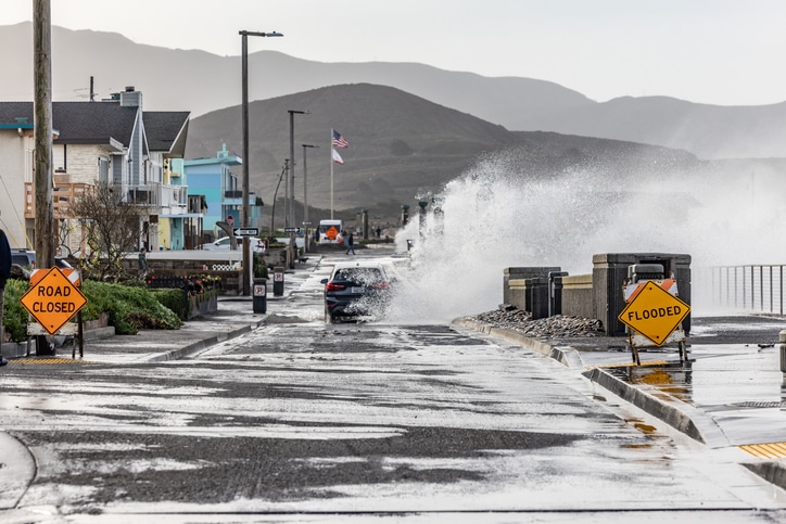
Flooding continues to present a persistent risk across California, even as wildfires and earthquakes dominate the state’s disaster narrative. According to a report from Neptune, recent analysis shows that nearly 2.3 million properties face flood risk over the next 30 years, with more than 110,000 expected to flood with near certainty. This exposure highlights a widening gap between actual risk and current insurance coverage.
Modern flood modeling indicates that 1.1 million properties in California face a 1% or greater annual chance of flooding. By comparison, FEMA Flood Insurance Rate Maps identify approximately 495,000 properties at this same risk level. This difference reveals nearly 600,000 additional properties outside FEMA-designated high-risk zones, suggesting that flood exposure extends well beyond traditionally mapped areas.
Key Drivers of Flood Risk
Flood risk in California is driven by several structural and environmental factors. Atmospheric rivers account for 30% to 50% of the state’s annual precipitation and are responsible for the most damaging flood events. Urbanization also plays a role, as 94% of residents live in urban areas where impervious surfaces increase runoff and strain stormwater systems. In addition, nearly 70% of National Flood Insurance Program policies cover pre-FIRM homes, which were built before modern flood standards and are more vulnerable to damage.
Wildfires further contribute to flood exposure. Post-fire conditions can increase runoff and erosion for five years or more, and even moderate rainfall can trigger debris flows in recently burned areas. At the same time, housing designs that prioritize earthquake resilience, such as wood-frame structures built close to grade, may increase susceptibility to flood damage.
Loss Trends and Insurance Gaps
Historical data reflect the cumulative nature of flood losses in California. Since 1978, the NFIP has paid approximately $1.4 billion in inflation-adjusted losses. While major events account for a significant portion of payouts, moderate flooding across multiple years continues to contribute to overall losses. Notably, nearly two-thirds of NFIP losses have occurred in just ten counties, despite low insurance penetration.
Insurance participation has declined in recent years. NFIP policies in force have decreased by 35% since 2016, while residential flood insurance penetration stands at 1.4% statewide and approximately 31% within FEMA-designated Special Flood Hazard Areas. At the same time, 45% of NFIP claims have occurred outside these high-risk zones, where coverage is often not required.
Affordability and Coverage Limitations
Affordability remains a key factor. Average NFIP premiums have increased by more than 33% since 2016, partly due to updated risk-based pricing. In some areas, premiums account for 5% to 8% of household income. Coverage limits also present challenges. With median home values between $750,000 and $800,000, the NFIP cap of $250,000 for residential buildings often falls short of rebuilding costs.
Flood risk in California continues to evolve, driven by environmental conditions, urban development, and gaps in risk recognition. Current data shows that exposure is widespread, while insurance participation and coverage limits remain limited relative to potential losses.
Get the latest insurance market updates and discover exclusive program opportunities at ProgramBusiness.com.