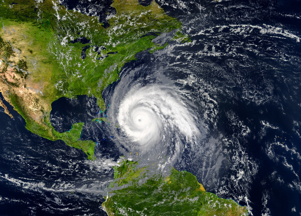
The 2025 Atlantic hurricane season is projected to be slightly more active than the long-term average, according to the first seasonal outlook released by Colorado State University (CSU). The forecast anticipates 17 named storms, nine of which are expected to become hurricanes and four potentially reaching Category 3 strength or higher.
Seasonal Forecast at a Glance
This forecast slightly exceeds the 30-year average for storm and hurricane counts. It is, however, just below the totals observed in the 2024 season, which recorded 18 named storms, 11 hurricanes, and five major hurricanes. The CSU team attributes the elevated outlook in part to the expected absence of El Niño conditions during the core months of the hurricane season.
Climate Patterns and Their Influence
A key factor in the forecast is the predicted state of the El Niño–Southern Oscillation (ENSO). Current projections from the National Oceanic and Atmospheric Administration (NOAA) suggest that El Niño, which typically suppresses hurricane formation through increased wind shear, is not expected to develop. There is, instead, a moderate likelihood that La Niña conditions may emerge between August and October.
La Niña seasons often support more storm activity in the Atlantic due to decreased wind shear and more favorable atmospheric conditions, such as rising air currents and instability that aid in storm development. However, there remains a possibility that neutral conditions — where neither El Niño nor La Niña dominates — could persist during much of the season, potentially limiting their overall influence.
Ocean Temperatures and Regional Factors
Ocean surface temperatures, another major driver of tropical cyclone development, present a mixed picture for 2025. While the Gulf of Mexico and the Caribbean Sea are slightly warmer than average, they are cooler than this time in 2024. In contrast, the eastern Atlantic — especially the Main Development Region (MDR), which typically spawns the most impactful storms — is currently near to slightly below average in temperature.
Should these cooler conditions in the MDR persist into the peak months of hurricane activity, tropical development in that part of the basin could be limited.
Looking Ahead
As the season approaches, meteorologists will continue to monitor sea surface temperatures and ENSO trends for updates that may affect storm outlooks. Although the current forecast indicates a slightly busier season than usual, a range of environmental factors could influence the final outcome.
Get the latest insurance market updates and discover exclusive program opportunities at ProgramBusiness.com.


