


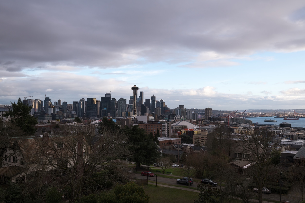
Back-to-back atmospheric rivers will bring heavy rain and significant flood risk to parts of western Washington and Oregon through Thursday, with additional storms expected beyond the middle of December. Meteorologists predict that the setup will bring multiple rounds of moisture from the Pacific, raising concerns about urban flooding, small streams, and larger rivers across the region.
Atmospheric Rivers Lining Up Over the Pacific Northwest
Storms are lining up offshore and moving inland with increasing moisture. Some of the most intense rain producers will be atmospheric rivers, which concentrate heavy rainfall into a relatively narrow corridor. A long plume of moisture, sometimes referred to as the Pineapple Express, will stretch from west of Hawaii into the interior northwestern United States through at least midweek. Forecasters expect this plume to fuel many inches of rain in a short period.
As the storms arrive, the moisture feed will push inland across Washington, northern Oregon, northern Idaho, and western Montana. The result will be a mix of flooding types, ranging from water collecting in metro areas to rapid rises on small streams and short-run rivers.
Flooding Expected Across Streams and Rivers
Forecasters warn that low-lying roads near streams and rivers may become impassable due to high water. In some areas, the risk of flooding and mudslides could rise to extreme levels, and authorities may consider evacuations if conditions worsen. Motorists should expect hazardous travel from repeated downpours, blowing spray, and ponding on roads. Conditions may also deteriorate at Seattle-Tacoma International Airport, potentially leading to delays.
Nearly every small stream and short-run river in parts of Washington and Oregon is expected to reach at least minor to moderate flooding. In the Washington Cascades, several rivers are already at moderate to high flood stage. AccuWeather meteorologists report that multiple rivers downstream of Mount Rainier could approach or exceed record levels that have not been reached in approximately 75 years.
The Snohomish River at Snohomish, Washington, is forecast to set a new record height of 35.30 feet on Friday. The river gauge at Snohomish has been in operation since 1949. Meanwhile, the Grays River at Covered Bridge near Rosburg, Washington, set a new record Monday night at 33.36 feet. The gauge near Rosburg has been in operation since 2005, and its previous record was 33.15 feet, set on December 3, 2007. Several other locations along rivers in the region are forecast to crest within a foot of their records.
Rainfall Totals Could Reach Twice the Normal December Amount
A large zone in the Pacific Northwest, including Portland, Oregon, is forecast to receive 4 to 8 inches of rain from Monday through Wednesday night. Within that zone, pockets of 8 to 12 inches are expected, especially along west-facing slopes of the Pacific Coast ranges and the Cascades in Washington and northern Oregon. AccuWeather’s Local StormMax for the first half of the week is 22 inches.
December typically brings frequent rain to the Pacific Northwest. However, forecasters say the storm pattern in the weeks ahead could deliver twice the normal monthly rainfall in some areas. For context, Seattle’s historical December average is 5.72 inches. Astoria, Oregon, averages 10.68 inches, and Stampede Pass, Washington, averages 12.60 inches when including rain and melted snow. With multiple storms in line, totals in some locations may exceed those benchmarks quickly.
Mudslides, Road Washouts, and Avalanche Risk
In addition to flooding, saturated topsoil will increase the likelihood of road washouts and mudslides. Debris flows are expected to be most common in and near areas that have experienced wildfires, although they may also occur elsewhere as soils become destabilized.
At the highest elevations of the Cascades, where heavy snowpack and fluctuating temperatures create unstable conditions, avalanche risk will increase. Still, freezing levels are expected to remain high enough that most storms this week will bring rain rather than snow to mountain passes, which may limit pass closures tied to snowfall even as runoff rises.
NOAA Aircraft to Investigate the Storms
Hurricane Hunter aircraft from the Air Force Reserve’s 53rd Weather Reconnaissance Squadron will investigate the atmospheric rivers during the tropical offseason. According to the latest NOAA schedule, aircraft are scheduled to study the storms this week, helping to improve the understanding and forecasting of these moisture-driven events.
Pattern Shifts Later This Week, Then Reloads
Forecasters expect a brief easing or a northward shift in the storm sequence during the latter part of the week. After that, the storm track is projected to move farther south again next week. The storms are expected to grow larger in size, bringing a return of heavy rain and high-country snow from this weekend into next week.
Until that shift occurs, a northward bulge in the jet stream will dominate. This change will lead to unusual warmth across much of the West Coast during the middle part of December. Farther inland, the warmth will peak on Wednesday in portions of Montana and Wyoming. Then colder air will press in, and locally heavy snow is expected to develop on Thursday.
Continuing Impacts Into Mid-December
Rounds of moisture will continue to move through the coastal Northwest, and periodic flooding and mudslide problems are expected as the storm train persists. With rivers already elevated and more rain on the way, conditions will remain sensitive to additional surges of precipitation through at least mid-December.
Stay informed and ahead of the curve — explore more industry insights and program opportunities at ProgramBusiness.com.