


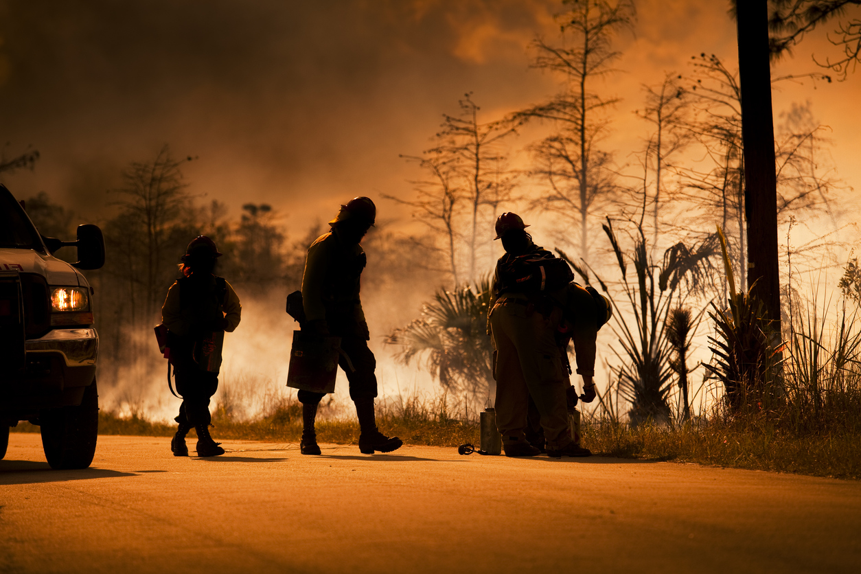
The AI-based tools are helping officials monitor fires, evacuate threatened areas and send often-stretched resources to places they will do most good.
This year, wildfires in California alone have burned more than 3.8 million acres, according to the California Department of Forestry and Fire Protection, or Cal Fire, which has been leading many firefighting efforts in the state. Since mid-August, at least 29 people have died.
And wildfires continue to burn. This week, the Glass Fire in California’s wine country prompted mandatory evacuation orders for Calistoga, a city of more than 5,200.
Fire prediction tools are helping officials in the area and across the state gain greater visibility into how big a fire might get and where it might be headed, said Geoff Marshall, a division chief in Cal Fire’s Predictive Services program. Predictive Services does modeling for seasonal trends and outlooks for firefighters and fire managers.
Cal Fire has started rolling out a tool called Wildfire Analyst Enterprise from Technosylva Inc., a 50-person company in La Jolla, Calif. Besides Wildfire Analyst Enterprise, the company offers other products, such as FiResponse, a fire incident management, dispatching and resource-tracking system. Other state firefighting agencies are also using its products, Technosylva says.
The Wildfire Analyst Enterprise tool analyzes weather conditions, the moisture content of ground vegetation, satellite images showing terrain and hot spots and other data.
It uses a combination of scientific fire-spread models that show how wildfires grow, said David Buckley, Technosylva’s vice president and chief operating officer. Technosylva says it enhances those models: It uses machine learning that compares a current fire against historical fire behaviors—which the company continuously updates based on patterns of recent fires—to make its prediction on where a fire might be headed and what time it is likely to arrive at that location.
Officials managing fires can access the information on dashboards in a command center or on computing devices in the field, according to Technosylva.
Wildfire Analyst Enterprise also allows officials to create simulations based on possible changes in conditions or incident responses, and assess risks based on such things as future weather conditions.
Cal Fire Battalion Chief Jon Heggie, who is assigned to one of Cal Fire’s incident management teams, has been working with a fire behavior analyst to track fires in the San Francisco Bay Area and allocate resources.
At the end of August, the Technosylva tool predicted that a blaze called the CZU Lightning Complex fire would move toward Felton, Calif., located south of San Francisco. Lightning caused the fire, which started in August and has burned more than 86,000 acres, according to Cal Fire’s website.
At the time, Mr. Heggie was managing firefighting personnel and equipment that was scattered across the area battling the flames.
Mr. Heggie was able to allocate firefighters and equipment to the town. The fire came, but the team was able to save a number of houses that probably would have been lost, he said.
“We’re able to get more resources in there to try to mitigate the fire spread based on the information given to us from this new technology,” said Mr. Heggie. “Unfortunately, we weren’t able to save every house, but we were able to save a lot.”
In Southern California, the Los Angeles Fire Department and other firefighting agencies are using a tool from the Wifire Lab called FireMap. The Wifire Lab is run out of the San Diego Supercomputer Center, which is based at the University of California, San Diego.
The Wifire FireMap system pulls in information on a fire’s spread, based on aerial and ground cameras; wind and climate conditions from weather stations and services; the moisture content of area vegetation; local topology and building information, and other data.
Wifire uses data modeling and machine-learning systems developed internally, as well as other fire modeling software such as the U.S. Forest Service’s FarSite simulation-modeling software, to analyze current fire conditions as well as historical fire behavior to predict how fast a fire will burn and in what direction.
The Wifire FireMap tool helps firefighters make crucial decisions, such as when to start evacuations, where to place resources and how to manage operations, according Carlos Calvillo, an LAFD assistant chief.
“It’s not the decision maker, but it’s a tool in the toolbox that we’re using to help with those other big-time decisions,” he said.
Los Angeles this year hasn’t seen the type of fires that have scorched other areas of the state. But last year there were a number of fires in the area, including the Getty, Palisades and Saddleridge fires.
The Saddleridge fire was active for 20 days, according to Cal Fire’s website. Wifire helped authorities plan evacuations, which were issued for more than 20,000 homes in the area.
The battalion chief who was putting evacuation plans together was looking at Wifire projections on his iPad, according to Mr. Calvillo. The chief then used the predictions to decide which areas needed to be evacuated and when.
“Wifire runs rate-of-spread models, and then we get that information to the command post,” said Mr. Calvillo. “And then we begin to have that dialogue about how to meet the needs for that incident.”