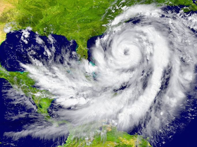
The research builds on 2017 findings that a bubble of cooler ocean temperatures and lofty crosswinds protects the east coast when hurricanes are most active in the main development region of the tropical Atlantic between Africa and just west of Jamaica.
James Kossin, an atmospheric research scientist with the National Centers for Environmental Information, was lead author on the 2017 report and worked with other scientists on the recent study.
According to what they found, greenhouse gas emissions and a warming planet will disrupt the tropical Walker circulation, which is the normal circulation of waters over the equatorial Pacific. Natural fluctuations in the circulation are what causes the climate patterns of El Nino and La Nina.
The disruption could mean that when wind shear is light over the tropical Atlantic, increasing activity in the main development region, the protective wind shear barrier over the east coast won’t be as strong, allowing hurricanes to quickly deepen.
Rapid intensification is defined as a storm gaining 34 mph or more in 24 hours. It is a challenge to forecast and can prove deadly if it happens near the coast, ramping up a storm’s intensity by a category or more in a day.
“Coupled with the robust warming of the ocean surface temperature in the future, it is likely that the U.S. East Coast will experience unprecedented hurricane intensification in the future, causing even greater threats to the coastal community,” notes this month’s study, which is titled Past and Future Hurricane Intensity Change along the U.S. East Coast.
It is generally believed that the Atlantic Basin has been in an active period for hurricanes since the mid-1990s.
While there was an 11-year lull in hurricanes making landfall in the contiguous U.S. after 2005, Hurricane Hermine picked up the pace when it hit the coast near Tallahassee in 2016. Then 2017 and 2018 more than made up the difference.
Three Category 4 storms hit the U.S. and Puerto Rico in 2017. Last season saw Category 5 Hurricane Michael devastate the Florida Panhandle, and Hurricane Florence send flooding rains and storm surge into North Carolina.
This month’s study said that the Gulf Coast is unlikely to be affected by the changes in vertical wind shear, but the east coast could begin feeling the impacts of quick-intensity hurricanes by 2050.
“How human activity may contribute to hurricane intensity change in the future, particularly landfalling hurricanes, is thus an extremely urgent question for society at large,” the study notes. “Our results emphasize the potential threat that hurricanes may become more intense in the future as they move toward the east coast of the United States.”


