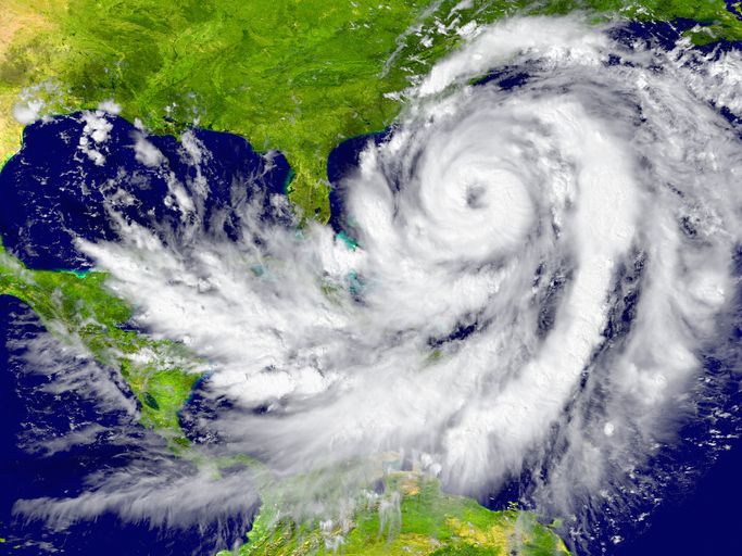
AccuWeather, Colorado State University, The Weather Company and seven other organizations all predict above-average seasons, as warm ocean temperatures and expected global climate patterns create favorable conditions for the whirling storms.
An average season produces seven hurricanes. The Weather Company predicts nine, with four reaching major hurricane strength with wind speeds of at least 111 mph. Colorado State predicts eight, including four major ones. AccuWeather predicts seven to nine, with two to four reaching major strength.
“Right now every group is calling for an above-normal season,” said Phil Klotzbach, research scientist for Colorado State University’s Tropical Meteorology Project, who helps run a web site that compiles the hurricane predictions of different organizations. “There’s a spread in how above normal, but every group is going above average.”
The forecasts, particularly unwelcome in year that’s already had its share of disruption, may turn out to be inaccurate. Early season forecasts are often unreliable. That’s why many organizations issue additional forecasts near the June 1 start of the season and at the beginning of the season’s peak, which runs from August through October.
But there’s more confidence in the forecasts this season, Klotzbach said.
“There’s always uncertainty with the forecast, but I would say the confidence is higher than normal,” he said.
A key reason for the increased confidence in the forecast is the strong sense that the season will not see the phenomenon called El Niño, a periodic warming of eastern Pacific Ocean that suppresses hurricane formation.
El Niño tends to increase high-level wind-shear over the Atlantic that can tear apart emerging hurricanes. More likely this year, forecasters say, is its opposite, La Niña, a cooling of the Pacific that reduces wind shear, creating the calmer upper-atmosphere conditions that allows storms to form the giant conical structures of hurricanes.
“We could trend into La Niña territory in September,” said Dan Kottlowski, senior meteorologist at AccuWeather. “If we go into September in a La Niña, that definitely says the latter half of the season could be very, very active. That’s the key right there. If we go into a La Niña pattern, we’ll have more storms. If we have more storms, the chance for the United States getting hit more frequently is a lot higher.”
Another factor is unusual warm ocean water, which provides the essential fuel for hurricanes. Particularly ominous is the location of one area of warm water, the eastern Atlantic along the well-trodden path taken by some of the strongest storms in history, as they form off Africa and slowly head east, gathering power from warm water.
Climate change may have played a role in creating the warm ocean conditions. The world just came through the second-hottest March in recorded history, with temperature records broken in Florida and other parts of the globe. This hot weather has helped generate the oceanic heat that supports the more pessimistic hurricane season forecasts.
“Ocean temps are very warm right now," Kottlowski said. "They’re absorbing the additional heat that we have in the atmosphere. We are living in a warmer climate now, and that’s definitely a reason why water temperatures are that way.”
The Weather Company said its forecast, released last week, may actually understate the risk of a busy season.
“Weighing all of the factors, we have started the bidding at 18 named storms, nine hurricanes and four major hurricanes for the 2020 North Atlantic tropical season,” Todd Crawford, chief meteorologist at The Weather Company, said in a news release. “However, we think there is still some upside to these numbers, and that a ‘hyperactive season’ like we had in 2010 and 2017 is still in play.”


