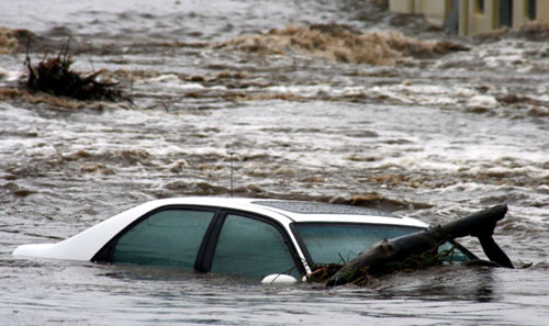
A flood warning was in effect in the area until after midnight, according to the National Weather Service. Heavy rain and the risk of flash flooding would continue through Friday, according to the National Weather Service. According to the National Weather Service, 8 to 10 inches of rain fell in Leslie, Perry, and Breathitt counties, which were the hardest hit.
At a press conference on Thursday morning, Gov. Beshear called the flooding "some of the worst in Kentucky's history" and declared a state of emergency. He predicted that the water level would rise before it began to fall.
"We expect massive property damage and loss of life as a result of this," the Democrat predicted. "Hundreds of people will lose their homes." And this will be yet another event that will take our families years to rebuild and recover from."
Mr. Beshear stated that the Kentucky National Guard has been activated, with three helicopters ready to perform rescues. More rescue helicopters are on their way from other states and agencies, according to Hal Lamberton, commander of the Kentucky Army and Air National Guard. "We expect the response to last several days," he said at a press conference with the governor.
"I would describe the flooding in parts of eastern Kentucky as cataclysmic," said National Weather Service meteorologist John Gordon.
According to Kentucky Power, over 22,000 customers in eastern Kentucky were without power. According to the state transportation department, many roads were closed.
The Kentucky Red Cross announced the opening of shelters in Langley and Hazard, Kentucky. Three state parks, according to the governor, are also open to those who have been displaced.
Flooding occurred in the St. Louis area on Tuesday as a result of record-breaking rainfall. In the United States, increasingly severe weather patterns have overwhelmed infrastructure and government systems designed to withstand previous weather patterns.


