


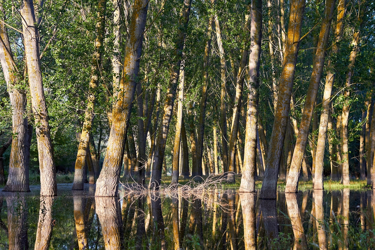
Forests have long been associated with flood mitigation. However, researchers have debated for decades how much influence forests have, particularly during large and destructive flood events.
A new study from researchers at the University of British Columbia reports that measurement methods may have led to underestimates of forests’ role in flood risk. The authors argue that a widely used before-and-after approach has limited understanding of how forests influence flooding over time.
Instead of focusing on individual flood peaks, the researchers recommend evaluating floods probabilistically. They say this approach better captures how forests change the likelihood of floods occurring, including major events.
Measurement Methods Under Review
Many studies have attempted to determine whether forests reduce flooding by comparing peak flows from individual storms before and after changes such as logging, wildfire, or land conversion.
The authors contend that this method oversimplifies flood dynamics. Storms vary widely, as do soil moisture levels, snowpack conditions, and the way water moves through watersheds. As a result, comparing one flood peak to another may not provide an accurate assessment of long-term risk.
“When we look at flood risk in probabilistic terms – how trees and forests change the likelihood of a flood – the picture changes,” said lead author Samadhee Kaluarachchi, a Ph.D. student at UBC. “Forests are part of the solution, even for big floods.”
For years, research has often concluded that forests reduce smaller floods in small basins but have a limited impact on large floods or large watersheds. According to the study authors, those conclusions have influenced policy discussions, with forests sometimes viewed as a secondary benefit rather than a primary flood management tool.
Kaluarachchi and UBC professor Younes Alila argue that focusing only on peak flows from individual events overlooks how forests influence the broader distribution of flood risk over time.
“Our synthesis shows forests can alter the frequency and probability of floods, including major events,” Alila said. “This doesn’t mean forests alone will stop catastrophic floods – but they can reduce flood risk at the source, making floods not only smaller but also rarer in cities and communities downstream.”
Influence of Headwaters and Natural Features
The authors state that forests are not a substitute for engineered infrastructure such as dams, dikes, or floodwalls. Instead, they emphasize that land cover in headwaters affects how often large floods occur downstream and how severe they become.
They reference earlier research conducted in British Columbia that found natural features, including forests, wetlands, and lakes, function as built-in flood infrastructure. These features store water, slow runoff, and release it gradually. This process can reduce downstream peak flows and alter the frequency of certain flood levels.
The researchers argue that these findings reflect the physical behavior of floods and should be given greater weight than the traditional peak-to-peak comparison approach.
Upstream Land Management and Downstream Risk
Flood policy often centers on urban areas where damage occurs. The authors state that less attention is paid to upstream land management, even though conditions in headwaters can amplify or reduce flood risk before water reaches populated areas.
They caution that relying exclusively on engineered defenses while overlooking upstream land use may increase downstream vulnerability. For example, removing forest cover in headwaters could raise the flood burden placed on downstream infrastructure.
“It’s about broadening the toolbox,” Kaluarachchi said. “Engineering infrastructure is part of the solution, but it cannot address the root causes of flooding. When land management and forest removal in the headwaters increase flood risks downstream, forests and healthy ecosystems must be a core part of flood management.”
Reframing Flood Risk Assessment
The study calls for a shift in how researchers evaluate floods. Rather than asking whether a specific flood peak changed after logging, the authors recommend analyzing how forests affect the distribution of flood probabilities over time.
They state that forests do not need to prevent catastrophic events entirely to reduce risk. If forests make damaging floods less frequent or reduce their intensity before rivers reach urban areas, that represents measurable risk reduction.
The authors also note that climate change is intensifying rainfall extremes in many regions. In that context, they state that upstream land management should be considered alongside engineered solutions when assessing flood risk.
Stay informed and ahead of the curve — explore more industry insights and program opportunities at ProgramBusiness.com.