


Hurricane Erin has regained strength as a Category 4 storm and is expected to generate dangerous surf and coastal conditions along the Eastern Seaboard, Bermuda, and Atlantic Canada this week.
Current Status of Hurricane Erin
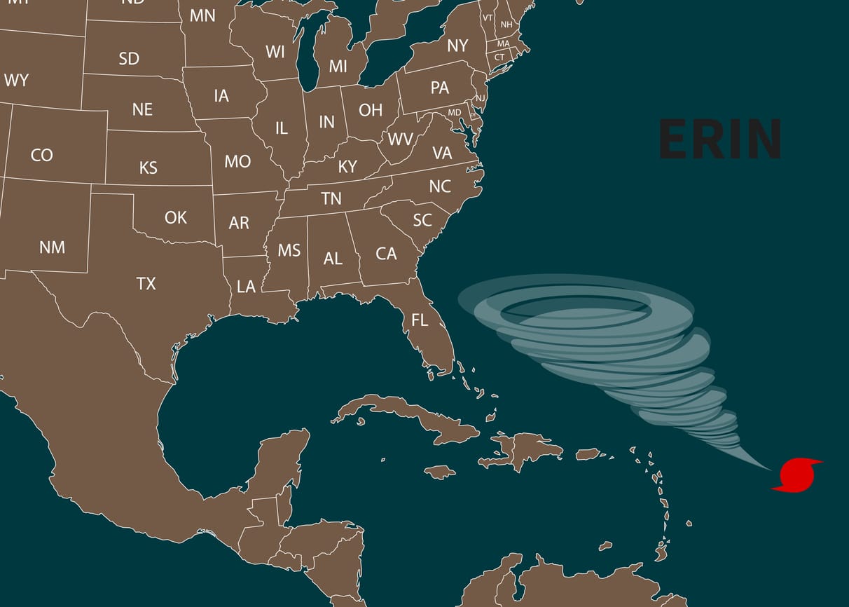
As of Monday morning, Erin was located about 105 miles north-northeast of Grand Turk Island, moving northwest at 13 mph. The storm’s maximum sustained winds reached 130 mph, with hurricane-force winds extending outward up to 80 miles. Tropical-storm-force winds spanned 230 miles from the center.
Over the weekend, Erin briefly intensified to a Category 5 hurricane, producing maximum eyewall winds of 160 mph and an enveloped eyewall lightning signature — a rare indication of extreme storm power. Since then, the hurricane has undergone eyewall replacement cycles, resulting in slightly reduced peak winds but a broader wind field.
Impact on the Outer Banks
North Carolina’s Outer Banks are preparing for significant coastal flooding and erosion as Erin passes offshore midweek. Evacuation orders are in effect: visitors were directed to leave by Sunday evening, and residents must evacuate starting Tuesday morning.
Officials warned that Highway 12 on Ocracoke and Hatteras islands may become impassable for days due to wave overwash. The National Weather Service projects waves reaching up to 20 feet in the region, coinciding with higher astronomical tides that could intensify flooding risks.
East Coast Conditions
The National Hurricane Center cautioned that dangerous surf and rip currents are expected along virtually the entire East Coast. Risks will increase through Tuesday, with coastal flooding and beach erosion likely from the Mid-Atlantic up through the Northeast.
Rip currents, which account for the majority of surf-related rescues in the United States, are expected to be particularly hazardous due to the storm’s wide reach and prolonged coastal impact.
Bermuda and Atlantic Canada
Bermuda is forecast to experience rough seas and heavy squalls between late Wednesday and Friday, with average waves of 20 to 25 feet and rogue waves potentially exceeding 30 feet.
Atlantic Canada may also encounter dangerous marine conditions as Erin passes well south of Nova Scotia and Newfoundland on Friday and Saturday. While the storm is not projected to make landfall, officials noted that rough seas remain a serious concern.
What’s Next
After skirting the East Coast and Atlantic Canada, Erin is expected to move northeast into the jet stream, eventually tracking toward Ireland early next week.
Meanwhile, the National Hurricane Center is monitoring another system in the central tropical Atlantic with a 50 percent chance of development into a tropical storm later this week. The disturbance could bring enhanced rainfall to the Lesser Antilles by Thursday or Friday.
The next names on the 2025 Atlantic hurricane season list are Fernand, Gabrielle, and Humberto.
Get the latest insurance market updates and discover exclusive program opportunities at ProgramBusiness.com.