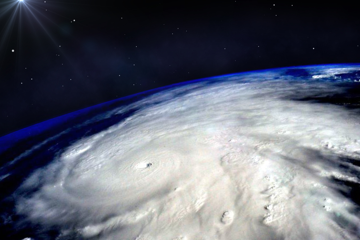
Hurricane Hilary rapidly strengthened into a Category 4 hurricane Friday morning, and it’s poised to bring an array of life-threatening hazards to California and neighboring states beginning this weekend.
The big picture: An intensifying Hilary’s peak winds had increased to 145 mph at 3am ET. It is forecast to approach the Baja Peninsula of California on Saturday, bringing flooding rains into southern California, Nevada and Arizona from this weekend into early next week.
Threat level: A high-impact, dangerous flooding scenario is likely to play out across the Southwest, with debris flows possible in burn scar areas and widespread flash flooding possible from the big cities to the mountains and into desert areas.
- Computer models and National Weather Service forecasts are showing the potential for 2 to 10-plus inches of rain to fall in Southern California, Nevada, Arizona and Utah, including in places where there are currently drought conditions.
- Some spots in the desert Southwest could pick up a year or more of typical rainfall in just two to three days. The metro areas of San Diego and Los Angeles are forecast to see heavy rains from this storm, peaking Sunday and Monday.
- There is considerable uncertainty about the precise storm track, and whether the storm will arrive in the Southwest as an intact tropical system. Even in a weakened state, high winds could cause damage across Southern California, particularly in tall buildings and higher elevations.
What they’re saying: The National Hurricane Center cautioned Thursday that Hilary’s movement in relation to the shape of the Baja California peninsula makes it “nearly impossible” to predict if the center of the storm will move inland, which would cause its winds to slacken before reaching the southwestern U.S.
- The NWS office in San Diego warned on Thursday evening of the “high potential” for flash flooding from the storm.
- About 26 million people in four states were placed under flash flood watches for the hurricane, per weather.gov.


