


The National Oceanic and Atmospheric Administration announced Tuesday it has upgraded its storm surge model to improve forecasts for high-impact weather in time for the 2023 hurricane season, which begins June 1.
NOAA’s Probabilistic Storm Surge, or P-Surge, model has been upgraded to version 3.0, which will help forecasters better predict storm surge risks in the United States, Puerto Rico, and U.S. Virgin Islands during the hurricane and tropical storm season that runs through Nov. 30.
“Today, NOAA upgraded the Probabilistic Storm Surge model!” NOAA tweeted Tuesday. “The upgrade brings key modeling and forecasting improvements for storm surge, just in time for the official start to the 2023 Hurricane season in just about a month!”
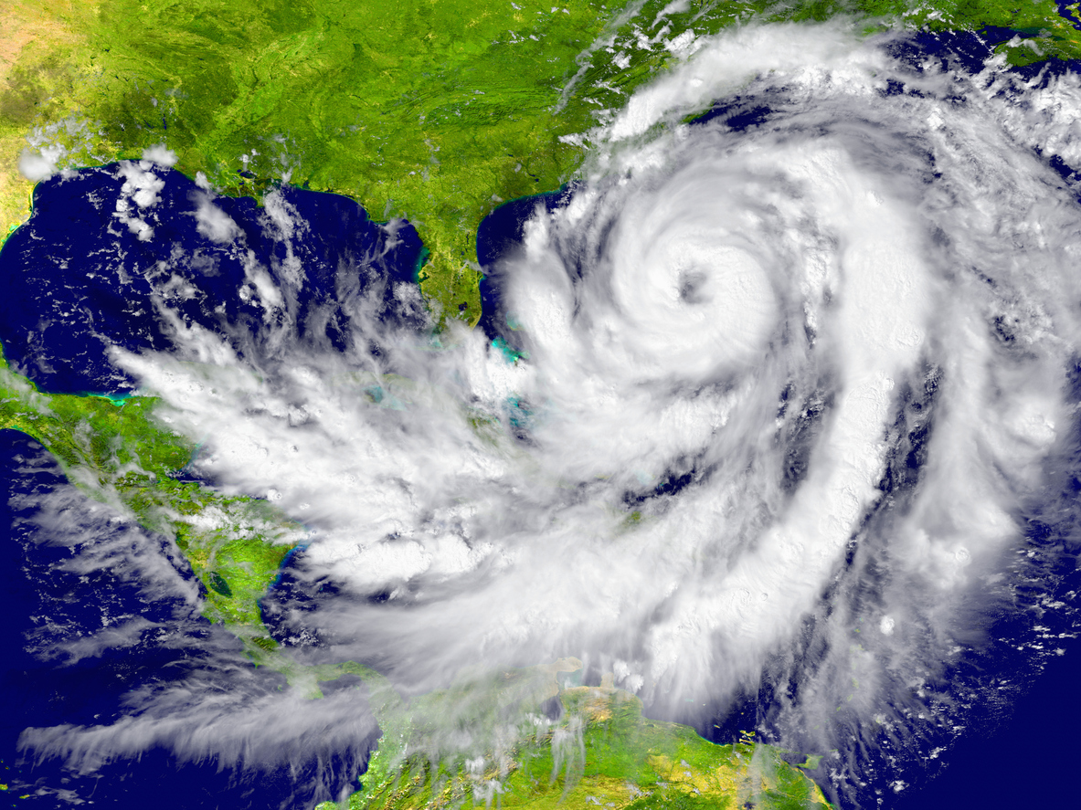
Storm surge is the abnormal rise of water generated by a storm above the normal astronomical tide and can cause extreme flooding in coastal areas.
“We are seeing a sharp increase in catastrophic storm surge impacts in our coastal communities,” said Ken Graham, director of NOAA’s National Weather Service.
“Our new capabilities to effectively and accurately model and forecast storm surge is critical to upholding the NWS mission of protection of life and property,” Graham added.
NOAA’s improved P-Surge model will provide better forecasts for surge, tide, and waves for Puerto Rico and the U.S. Virgin Islands. The model can also run two storms’ forecasts simultaneously and can provide more accurate computations of the amount of water inundation coastal areas can expect.
P-Surge models a storm surge by creating a range and likelihood of storm surge values before hurricanes and tropical storms hit Atlantic and Gulf coasts. Now the update will allow the same kind of analysis for Puerto Rico and the U.S. Virgin Islands, too.
NOAA released its first P-Surge model in 2008 after storm surge devastated communities along the Outer Banks of North Carolina and southeast Virginia following Hurricane Isabel in 2003.
The latest P-Surge model takes wind forecasts from NOAA’s National Hurricane Center combined with historic averages and enters them into NOAA’s Sea, Lake and Overland Surges from Hurricanes — or SLOSH model — to come up with storm surge water levels and inundation.
The possible outcomes and percentages from the model will allow forecasters to communicate “worst-case scenarios” to government officials and the general public.