


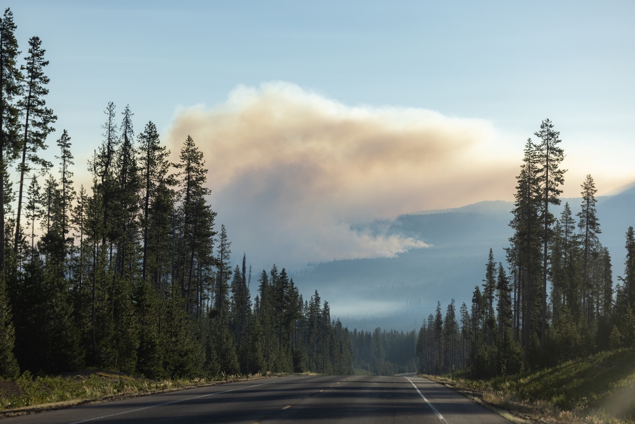
As wildfires continue to ravage communities across the nation, Oregon is taking decisive action to protect its residents and properties. This week, the state unveiled new wildfire hazard maps that impose stricter building codes and vegetation management requirements for homeowners in high-risk areas.
Responding to a Record-Breaking Fire Season
These updated maps come in the wake of a record-breaking wildfire season last year and the devastating firestorms of 2020, which tragically claimed nine lives and destroyed thousands of homes. Covering approximately 6% of Oregon’s 1.9 million tax lots, the new regulations target the most fire-prone regions, particularly those adjacent to wildlands like forests and grasslands.
Stricter Building Codes and Defensible Spaces
Mark Peterson, spokesperson for Oregon’s Building Codes Division, explained that the new building codes mandate fire-resistant features for new constructions in these high-hazard areas. For existing homes, compliance is required only if significant upgrades are undertaken, such as completely replacing roofs or siding with materials like metal or fiber cement.
Climate Change Drives Longer, More Intense Wildfire Seasons
The state’s proactive measures are a response to the increasingly longer and more intense wildfire seasons driven by climate change. Oregon is not alone in this battle; states like Washington, Colorado, and California have also introduced similar initiatives to mitigate fire risks in their communities.
Enhancing Community Resilience
Oregon’s approach focuses on creating defensible spaces around homes by reducing vegetation and implementing buffer zones. Andy McEvoy, a research assistant at Oregon State University’s College of Forestry, emphasized the importance of these maps in identifying vulnerable areas and enhancing the resilience of structures against fires. “If we manage our vegetation a certain way and build our structures out of certain materials, we can increase the likelihood of that structure surviving,” McEvoy stated.
Protecting Homeowners Without Increasing Insurance Costs
Importantly, the new wildfire hazard maps will not influence homeowners’ insurance rates, thanks to a 2023 state law that prevents insurers from using these maps to alter policy terms or premiums. This ensures that homeowners can comply with the new regulations without facing additional financial burdens.
Public Input Shapes the Final Maps
The development of these maps involved extensive public input, leading to significant revisions that reduced the hazard status of irrigated farmlands and pasture lands. Oregon Department of Forestry, alongside scientists from Oregon State University, refined the maps to better reflect areas where vegetation management practices already mitigate fire risks.
Next Steps for Implementation
Once the appeals period for the wildfire hazard maps concludes, the adoption process for the new defensible space and building codes will commence. The Oregon Department of Forestry will notify landowners of the affected tax lots, guiding them through the necessary steps to comply with the updated regulations.
A Critical Step Toward Future Safety
As Oregon braces for future wildfire seasons, these new rules mark a critical step in safeguarding communities and reducing the impact of devastating fires. By enforcing stricter building standards and proactive land management, the state aims to enhance its resilience against the growing threat of wildfires.