


Previsico, a London-based InsurTech providing real-time, street-level surface water flood forecasts to mitigate flood impacts globally, has announced a partnership with Geosite, a global geospatial data provider. Previsico’s solution provides Geosite’s U.S. carrier clients with live actionable flood alerts, so they can work with their customers ahead of a NAT-CAT event to mitigate flood losses, according to a Previsico statement.
With Previsico, live actionable insights, including uniquely for surface water flooding, are now available through Bedrock, Geosite’s multi-peril, spatial data engine platform, the Previsico statement says. As a storm approaches, up to 48-hours in advance, properties that are most likely to experience flooding are identified and customers alerted so they can take mitigation measures.
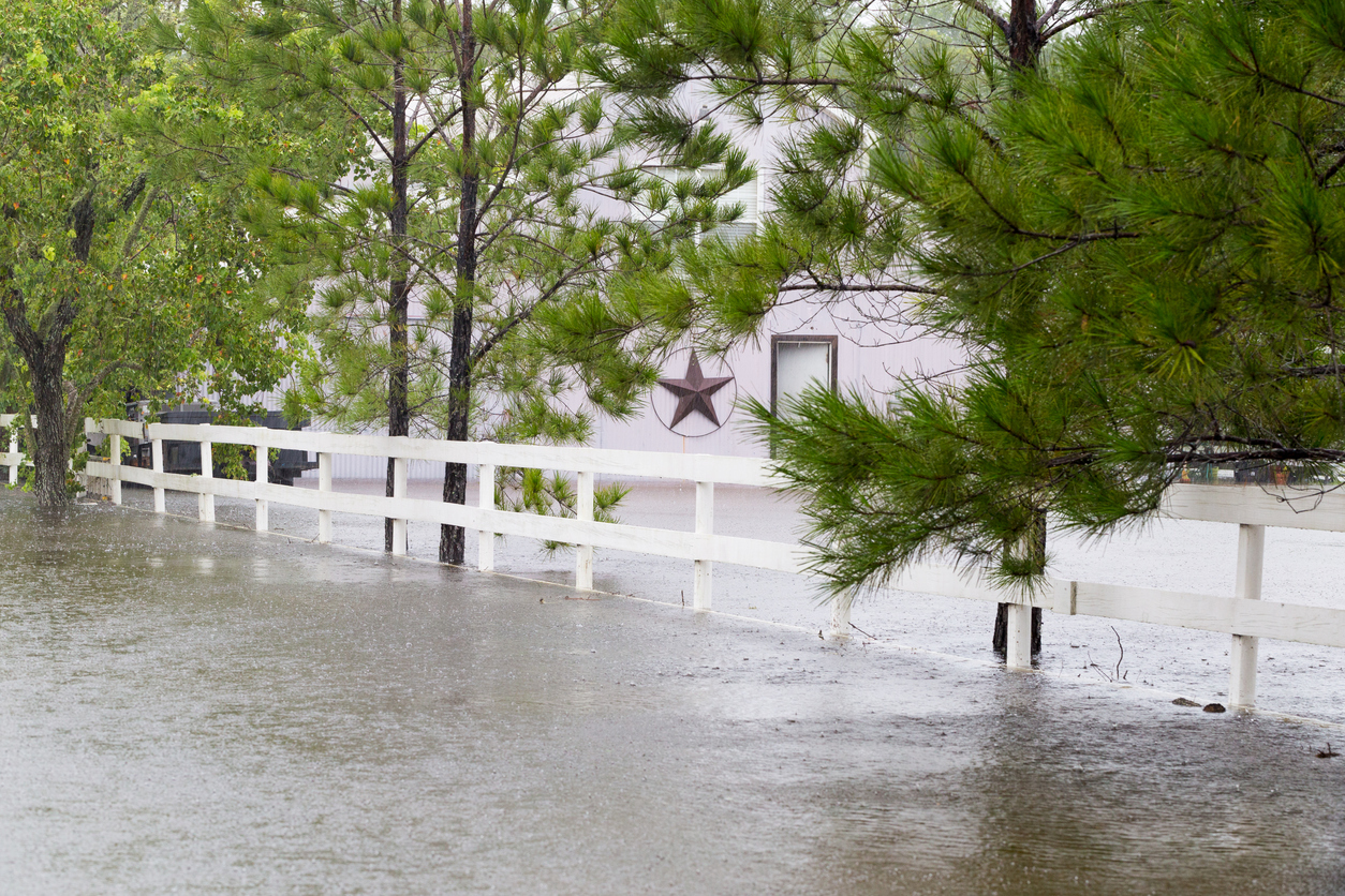
Previsico says that it is gaining strong traction in the insurance market along with its new partner Geosite, which has seen significant investments from MS&AD’s and QBE’s venture arms (both carriers are also active users of Geosite’s software services). Previsico describes the partnership with Geosite as “revolutionary” for the insurance industry. “In the past, insurers have had to rely on either long-term flood projections or wait until long after a flooding event to assess the outcome,” the Previsico statement says. “This has been a significant issue, as half of all U.S. economic losses from flooding are due to pluvial (surface water) flooding.”
By bringing the power of Previsico’s live flood alerts into Geosite’s Bedrock platform, the vendor says that carriers can now provide their customers with early flood warnings to prevent damages before the waters rise.
“We are excited to be partnering with Previsico to combine the power of their predictive flood modelling with our unique Bedrock platform,” Rachel Olney, founder and CEO, Geosite. “Our aim is to give carriers using Bedrock more rapid and accurate reserving and post-catastrophe claims handling across a comprehensive range of perils. The partnership with Previsico will deliver powerful insights to help deliver on that promise.”
“As the US insurance industry addresses the ever-increasing threat from flooding due to climate change and urbanisation, as seen earlier this year in Las Vegas, this partnership delivers a truly unique solution,” says Jonathan Jackson, CEO, Previsico. “Together, Previsico and Geosite offer a one-stop-shop for insurers to accurately assess properties that are at imminent risk of flood and deliver effective flood resilience measures.”
Data to Improve Processes
Previsico’s real-time flood forecasts, updated every three hours with projected flood depths, are already used by Zurich, Liberty, and Generali. Previsico notes that the data will be beneficial to Geosite’s clients, as it will improve processes throughout the insurance value chain, including underwriting, claims processing, reserving, and customer support, even before FNOL. That advantage is relevant for events such as Hurricane Ian, for which the companies successfully deployed a joint capability.
The data Geosite sources and surfaces for insurance carriers comes from multiple sources (satellites, drones, aircraft, IoT devices, and advanced analytics) and can be used to analyze multiple perils such as flooding, wildfires, and earthquakes, and combined with exposure data from geospatial AI and property information partners. “With Geosite, customers can easily integrate geospatial data via an API to make day-to-day operations and management processes more efficient,” the Previsico statement concludes.