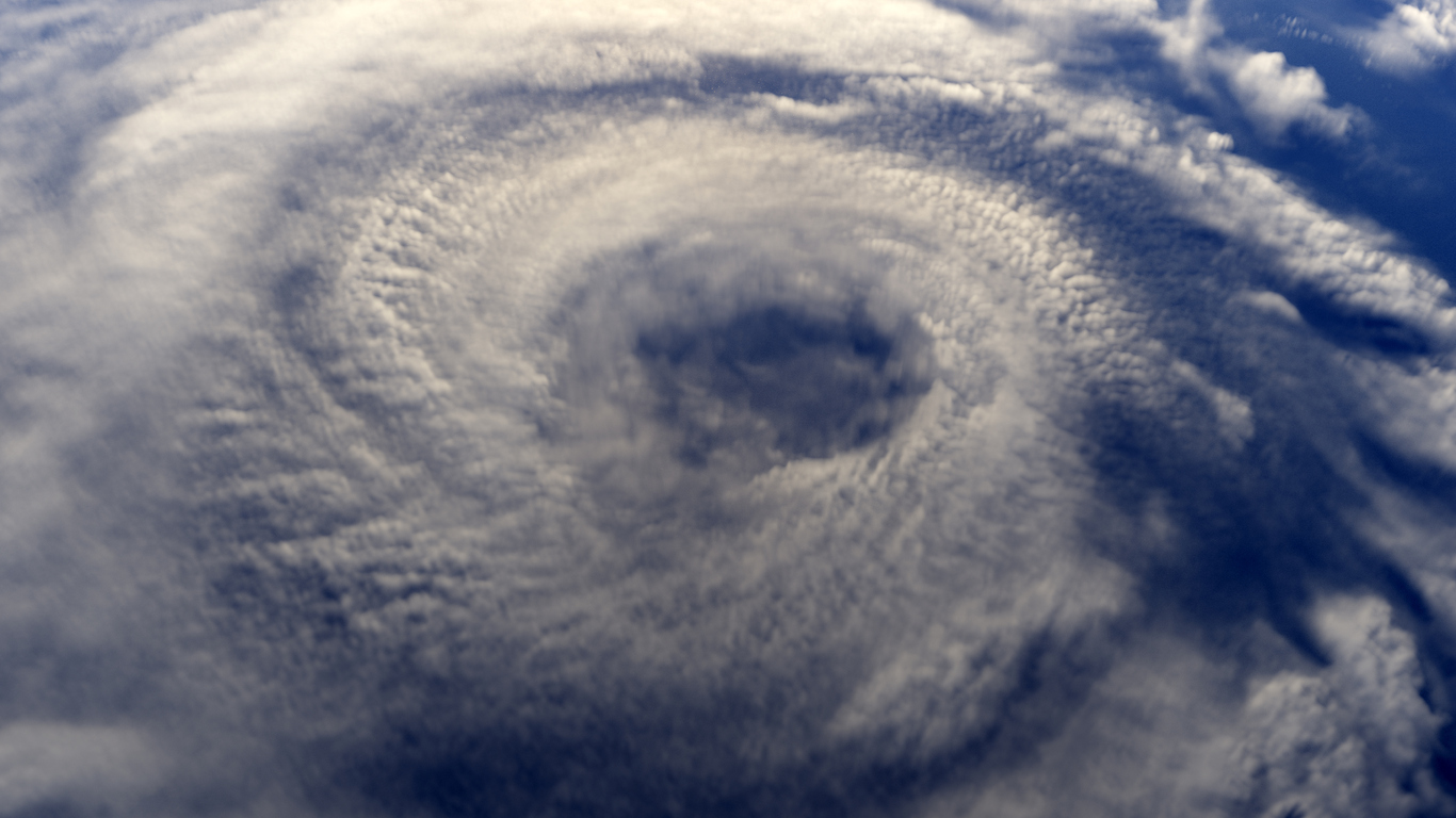
The 2022 season, which officially kicks off Wednesday, is expected to be the record seventh straight year with an above-average number of storms that reach tropical strength or greater. The US National Weather Service expects up to 21 such storms will form -- well above the annual average of 14. Colorado State University predicted 19 in its April forecast. AccuWeather Inc. and WeatherTiger LLC warn of above-normal activity, too.
An above-normal season would be the latest in a string of extreme weather events, including wildfires, floods and tornadoes, that have unleashed devastation across a wide swath of the globe over the past few years. Scientists say climate change is contributing to the destructive power of hurricanes, triggering heavier rainfall and worse storm surge. This year, storms threaten to disrupt supplies of everything from food to oil at a time when pandemic-driven snags are already sending commodity prices into the stratosphere.
The National Hurricane Center names storms when they reach tropical strength, with winds reaching at least 39 miles (63 kilometers) per hour. The first one in 2022 that reaches that mark will be called Alex, which could come this week as remnants of the Pacific storm Agatha cross over Mexico. Tropical storms become hurricanes when their winds reach 74 miles an hour.
Two major factors are creating ideal conditions for hurricanes to take shape this year. One is warm ocean temperatures in the Atlantic, which provide fuel for storms to intensify. The other is La Nina, a weather pattern that weakens wind shear, or sudden changes in wind speed and direction, and makes it easier for tropical cyclones to form. Forecasters are calling for La Nina to continue through the fall.
An overcharged hurricane season this year would continue a pattern of heightened activity that began in 1995 and reached the pinnacle in 2020, when the Atlantic produced a record 30 named storms. Better satellite coverage and changes to forecasters’ methodology have contributed to the increase, but even with those factors taken into account, more tropical cyclones are emerging. The US National Weather Service is predicting 14 to 21 named storms this year.
As Atlantic storms become more frequent, they’re also getting more intense. The past few years have seen an uptick in so-called major hurricanes— those with winds of at least 111 miles per hour — slamming into the US.
Because of warmer ocean waters, it’s also becoming more common for storms to undergo a deadly shift called rapid intensification, in which winds increase by at least 35 mph within 24 hours of landfall. Hurricanes that quickly gain power are more likely to catch people unawares, with catastrophic consequences.
Since 2017, 16 hurricanes have hit the US and seven of those were major hurricanes, said John Cangialosi of the US National Hurricane Center. Of the 16, half underwent rapid intensification.
Since 1980, hurricanes and tropical storms have caused $1.16 trillion in damages and losses in the US and lead to deaths of at least 6,708 people, more than any other climate disaster, according to the US National Centers for Environmental Information. In recent years, an increasing number of storms inflicted at least $1 billion of damage on the US.
The US had its longest drought of major hurricanes hitting the Lower 48 states between October 2005, when Wilma pummeled Florida, and August 2017, when Harvey struck the Texas coast. Part of the reason for the lapse was a low-pressure trough that often settled along the eastern edge of the country in those years, nudging storms away, said Phil Klotzbach, lead author of Colorado State University’s forecast. But since then, high pressure in the Atlantic has edged closer to the US most summers, allowing storms to crash into the Gulf Coast and East Coast.
Wind circulation on the south side of the high pressure system is from East to West, which “helps push hurricanes closer to the US,” Klotzbach said.


