


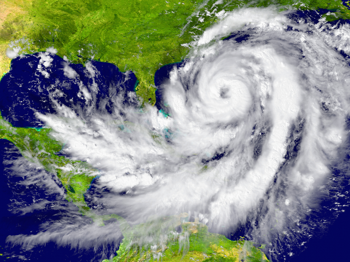
Changes in air patterns as the world warms will likely push more and nastier hurricanes up against the east and Gulf coasts of the United States, particularly in Florida, according to a new study.
While other studies have predicted how human-caused climate change will affect the frequency, strength, and moisture of tropical storms, the study published in the journal Science Advances on Friday focuses on the critical aspect of where hurricanes are going.
It all comes down to projected changes in steering currents, according to study lead author Karthik Balaguru, a climate scientist at Pacific Northwest National Laboratory.
“Along every coast, they’re pushing the storms closer to the United States,” Balaguru explained. Along the Gulf of Mexico, the steering currents move from south to north; on the East Coast, the normal west-to-east steering is significantly reduced and can be more east-to-west, he said.
Overall, the number of times a storm hits parts of the U.S. coast in general will likely increase by one-third by the end of the century, according to the study, which was based on sophisticated climate and hurricane simulations, including a system developed by researchers.
The central and southern Florida Peninsula, which juts out into the Atlantic, is expected to see an even greater increase in hurricanes hitting the coast, according to the study.
Climate scientists disagree on how useful it is to focus on the worst-case scenario, as the new study does, because many calculations show that the world’s carbon pollution has slowed. Balaguru explained that because his study focuses on steering changes rather than strength, the levels of warming aren’t as important.
Changes in air currents are expected to be linked to warming in the equatorial eastern Pacific Ocean, just off the coast of South America, according to the study. Climate change is warming different parts of the world at different rates, and models show that the eastern Pacific region is warming faster, according to Balaguru.
According to the study, the extra warming sets things in motion via Rossby waves, which are atmospheric waves that move west to east and are linked to changes in temperature or pressure, such as jet stream or polar vortex events.
“I like to explain it to my students like a rock being dropped in a smooth pond,” said Kristen Corbosiero, an atmospheric scientist at the University of Albany who was not involved in the study. “The heating is the rock, and Rossby waves are the waves that radiate away from the heating, disrupting the balance of the atmosphere.”
According to Corbosiero and Balaguru, the wave ripples cause a counterclockwise circulation in the Gulf of Mexico, resulting in winds blowing from east to west in the eastern Atlantic and south to north in the Gulf of Mexico.
It also reduces wind shear, which is the difference in wind speed and direction between high and low altitudes. Wind shear frequently decapitates hurricanes and makes it difficult for nascent storms to form.
According to Balaguru, less wind shear means stronger storms.
Overall, the changes in steering current and wind shear increase the risk to the United States, according to Corbosiero in an email.
According to Corbosiero and two other outside scientists, the study makes sense but has limitations and leaves out some important factors.
The study does not take into account where storms form, which is important, and it assumes a global trend toward more El Nino events, according to Jhordanne Jones, an atmospheric scientist at the National Center for Atmospheric Research and Purdue University’s Climate Extreme Weather Lab. Most climate models predict more El Ninos, which are natural warmings of the central Pacific that affect weather around the world and reduce Atlantic hurricane activity. Recent observations, however, “indicate a more La Nina-like state,” she said.