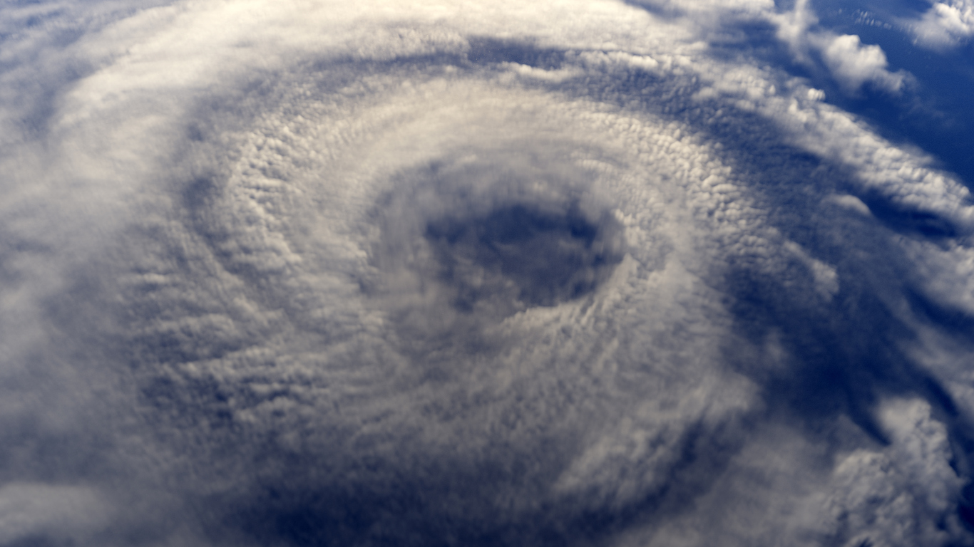
“It’s going to be really close,” said Mike Efferson, a meteorologist with the National Weather Service office in Slidell, La., which covers New Orleans and Baton Rouge. “Right now we have it at a strong Category 1, but we’re trying to message people to prepare for a Category 2.”
Category 1 hurricanes have sustained winds of 74 to 95 miles an hour, and Category 2 storms have sustained winds of 96 to 110 mph.
Sally is the 18th named storm of this year’s Atlantic hurricane season. This season reached 18 named storms faster than any other previous season.
Located off Florida’s West Coast on Sunday, Sally is expected to reach hurricane strength on Monday. It is currently forecast to make landfall near the mouth of the Mississippi River and pass over New Orleans, dumping 10 to 20 inches of rain and with a storm surge of 7 to 11 feet.
“We’re not expecting any impacts on the federal levee protection system” in New Orleans, Mr. Efferson said. “It’ll give those pumps a good test, for sure.”
He said the heavy rains will lead to flash flooding in some areas and river flooding north of New Orleans.
It’s a slow-moving system, exacerbating the risk of flash flooding over southeastern Louisiana, southern Mississippi, southern Alabama, and the Florida Panhandle through Wednesday morning, the National Hurricane Center said in a tweet. The storm is broadly expected to dump 6 to 12 inches of rain, with some areas seeing up to 20 inches, the center said.


