Efficient Insurance Solutions operates as a technology-enabled MGA focused on affinity distribution. Its book of business centers on consumer electronics and white goods, segments that depend on automation speed and efficient claims processing.
Category: Show on Homepage
Post-Fire Rebuilding in Los Angeles Highlights Shifts in Residential Design

One year after fires killed at least 31 people and destroyed more than 10,000 buildings in Los Angeles County, recovery remains uneven, shaped by insurance outcomes, permitting timelines, and homeowner resources.
SAN Group Welcomes Sherri Warcholic as Regional Vice President for Connecticut and Rhode Island

SAN Group is the largest alliance of independent insurance agencies in the Northeast and is headquartered in Hampton, New Hampshire.
Extended Range Forecast Signals Near-Normal North Atlantic Hurricane Activity in 2026

The forecast covers the official Atlantic hurricane season from June 1 through Nov. 30, 2026, and incorporates climate data available through the end of November 2025.
Berkley Select Introduces ExecCrime™ to Address Rising Crime Risks

The product targets private and nonprofit organizations across a wide range of industries and organizational sizes.
Competition Begins to Test Reinsurers’ Hard Market Insulation, USI Reports
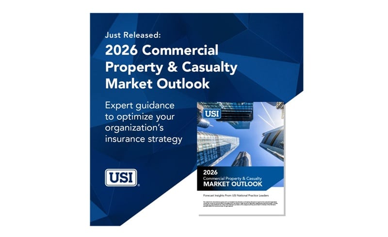
An abundance of capacity is driving this change and reshaping the balance of risk between reinsurers and primary insurers.
Legislative Update: California Proposes Disaster Recovery Reform Act Following 2025 Wildfires

California insurance regulators and lawmakers have introduced new legislation aimed at accelerating insurance claim payments and strengthening consumer protections in the aftermath of major disasters.
One Year After the Los Angeles Wildfires: Recovery Progress, Ongoing Strain, and Insurance Implications

The fires killed at least 31 people, destroyed more than 16,000 buildings, and burned nearly 80 square miles across Los Angeles and Ventura counties.
Insurance Brokers Maintain Stability as P&C Pricing Moderates, TD Cowen Finds

The research highlights how structural characteristics of the broker business model help support performance during periods of changing pricing conditions.
What the Uvalde Police Response Reveals About Crisis Leadership and Risk Management

Investigations into the law enforcement response found that officers — from local school police to state and federal agencies — did not immediately confront the active shooter.