
The company introduced the platform as an end-to-end technology system designed to support product management functions across personal lines and small- and medium-sized-business insurance.
Category: Show on Homepage
How Snowstorms Can Trigger More Dangerous Flooding in New Jersey
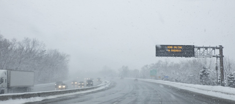
The storm affected areas, including Atlantic City, and underscored how winter weather events in the state can create overlapping hazards both inland and along the coast.
State Farm Announces $5 Billion Policyholder Dividend for Auto Customers

State Farm noted that exact payment amounts will vary by state and by the premiums paid.
National Safety Council Projects 12% Decrease in U.S. Traffic Fatalities in 2025

That figure represents a 12% decrease from 2024, even as overall miles driven increased by 0.9%.
Alliant Insurance Services Salutes 2026 Class of Risk & Insurance Power Brokers

Alliant producers honored for excellence in risk solutions, customer service, and industry knowledge.
Digital Talent Acquisition Market Forecast 2026-2032

The report outlines significant market growth, evolving technology adoption, and shifting organizational priorities that continue to reshape global talent acquisition strategies.
Gallagher Survey Highlights Rising AI Adoption and Ongoing Risks

The survey shows that companies are expanding AI use in key operational areas while continuing to navigate risks related to data protection, misinformation, and legal exposure.
CPSC Announces Nationwide Recalls of Amazon-Sold Products Over Serious Safety Risks

The U.S. Consumer Product Safety Commission has announced multiple nationwide recalls involving products sold on Amazon.com due to risks of serious injury or death. The recalled items include Vive Health Bed Rails, Huaker Magnetic Balls and Rods Sets, JJGoo LED Balloon Lights, and SAMIT Youth Multi-Purpose Helmets. The CPSC stated that each product violates applicable… Continue reading CPSC Announces Nationwide Recalls of Amazon-Sold Products Over Serious Safety Risks
Travelers Sues Erie Over Coverage Priority in Construction Injury Case

Two established insurers are facing off in federal court over a familiar coverage question: which policy responds first.
California Bill Would Require Insurers to Cover Fire-Resistant Homes Beginning in 2028

SB 1076, introduced by state Sen. Sasha Renée Pérez, D-Alhambra, would mandate that insurers provide coverage to homes that comply with wildfire-safety standards adopted by the insurance commissioner.